


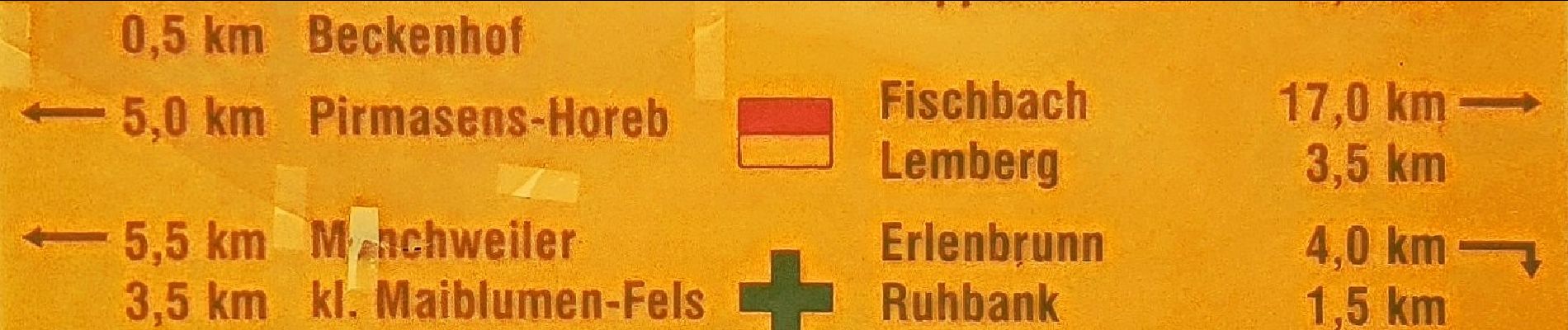
6,2 km | 8,4 km-effort

Tous les sentiers balisés d’Europe GUIDE+


Kostenlosegpshiking-Anwendung
 SityTrail
IGN / Geografische Institute
SityTrail World
Die Welt öffnet sich für Sie
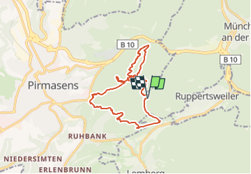
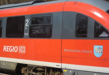
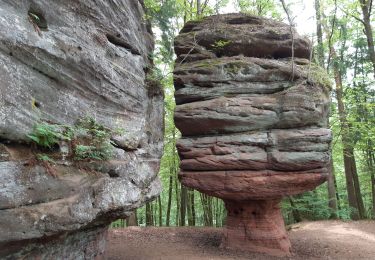
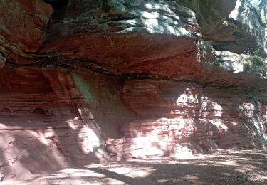
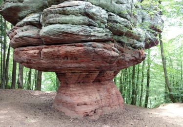
Tour Zu Fuß von 13,3 km verfügbar auf Rheinland-Pfalz, Südwestpfalz, Münchweiler an der Rodalb. Diese Tour wird von SityTrail - itinéraires balisés pédestres vorgeschlagen.
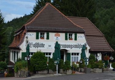
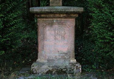
Trail created by Stadt Pirmasens.
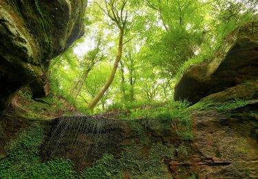
Symbol: Stilisiertes rotes Felsentour auf weißem Grund


Zu Fuß
Zu Fuß
Zu Fuß
Zu Fuß
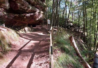
Wandern
Wandern
Wandern
Wandern